Landslide Scars

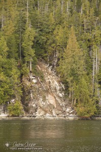
Landslide Scar

A small landslide scar along the water in Meyers Passage

One extraordinarily common feature of the inside passage are the scars left by numerous landslides. Visible as dramatic vertical scars of bare rock and tumbled trees on steep slopes throughout the region. Often these landslides continue directly into the water.

As the glaciers retreated they left behind steep rock walls. These valley walls were smoothed by the passing ice and rock. A few millenia of soil accumulation and tree growth has done little to wear at the underlying rock creating ideal conditions for landslides.

The thin soils with sheer rock faces underneath need only a little push in the right direction to peel away, rock and trees tumbling down the slope. Heavy rains are the usual trigger, saturating the ground, softening the soil and adding many tons of weight.

The results of these conditions leave an obvious scar with a story for the observant traveler.

Posted in Geology | Tagged , , , | Leave a comment

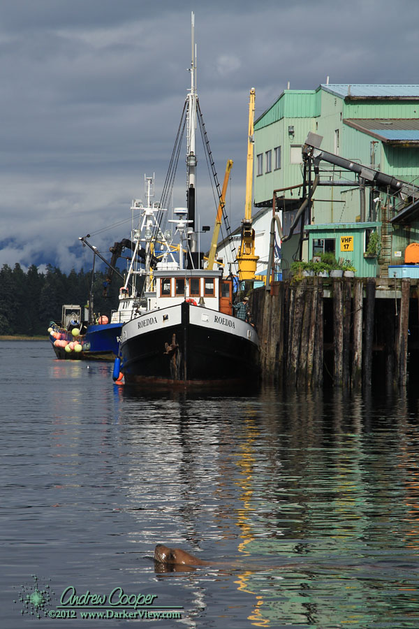
Photo of the Week – Roedda

Roedda

The fishing boat Roedda offloading fish at the packing plant in Pertersburg

Posted in Photo of the Week, Places | Tagged , | Leave a comment

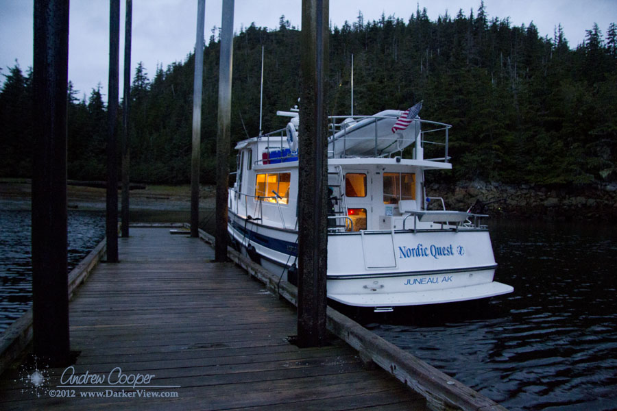
Photo of the Week – Entrance Island

Entrance Island Float

The Nordic Quest moored to the Entrance Island float

Posted in Anchorages, Photo of the Week | Tagged , , | Leave a comment

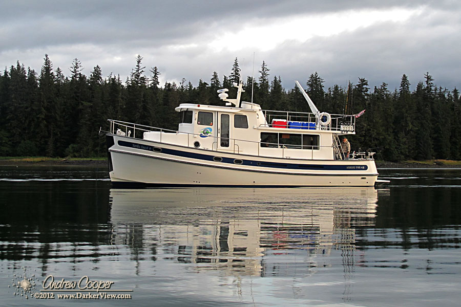
Photo of the Week – Nordic Quest

Nordic Quest

The Nordic Quest anchored in St. Johns Harbor

Posted in Cruising, Photo of the Week | Tagged , | Leave a comment

Photo of the Week – Nice Catch

Nice Catch

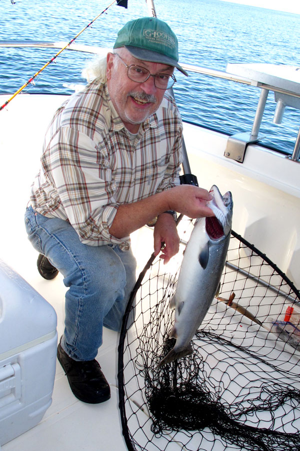
Fred Cooper with a nice Silver salmon caught just outside of Ketchikan

Posted in Fishing, Photo of the Week | Tagged , , , | Leave a comment

Photo of the Week – Orca

Orca

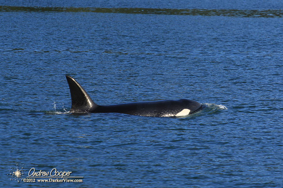
An orca (Orcinus orca) cruises through Wrangell Narrows

Posted in Photo of the Week, Wildlife | Tagged , , | Leave a comment

Photo of the Week – Petersburg Harbor

Petersburg Harbor

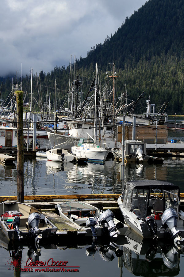
The harbor at Petersburg on a sunny September day

Posted in Photo of the Week, Places | Tagged , | Leave a comment

Portage Bay

What is the perfect anchorage? There may be many opinions on this, but the choice of Portage Bay should be a fairly good one by any measure. This bay is conveniently located along the main cruising route just north of Petersberg on the south side of Frederick Sound. There is plenty of room with just about any desired anchoring depth available.

Portage Bay

Looking south down the length of Portage Bay

The only real issue is a shallow entrance that can be interesting to navigate with a strong tide. In full flood we have seen three knot currents, but have still successfully entered and exited without much difficulty. Mid-channel, about halfway up the bay, we had 33ft under the keel of the Nordic Quest on a zero low tide.

There is a fair amount of tidal current in the channel, but holding is excellent. Based on experience our advice is to anchor further in to the bay. Nearer the entrance the currents in the center channel can be stiff. The result can be a bit of noise from the current streaming past, the anchor shifting with the tide, and general loss of sleep.

Posted in Alaska, Anchorages | Tagged , , , , , | Leave a comment

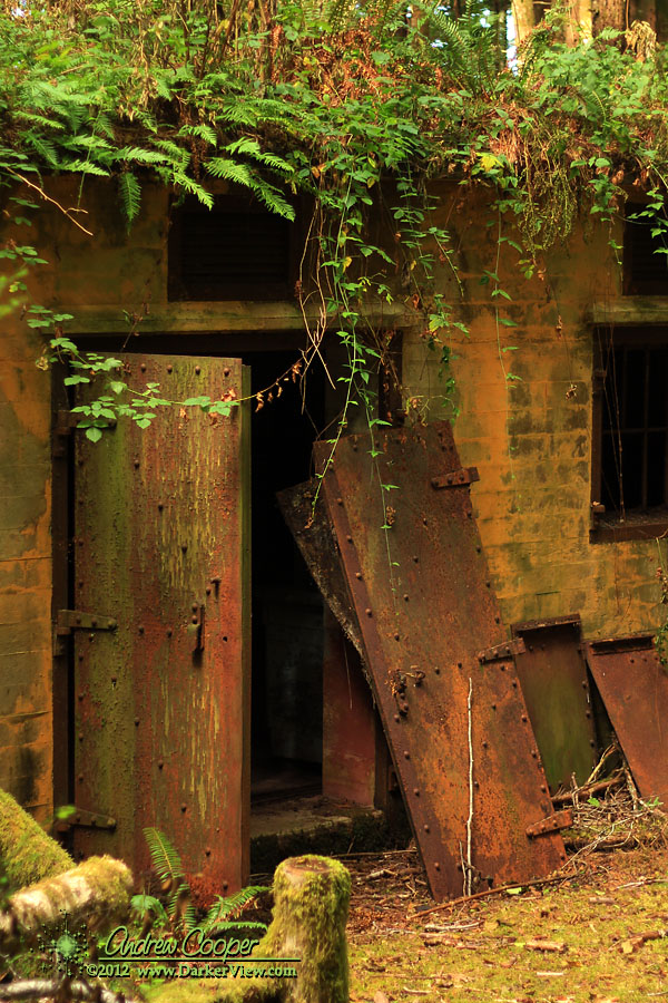
Photo of the Week – Generator Shed

Generator Shed

The steel doors of the generator shed, Yorke Island artillery battery

Posted in BC History, BC Places, Photo of the Week | Tagged , , , | Leave a comment

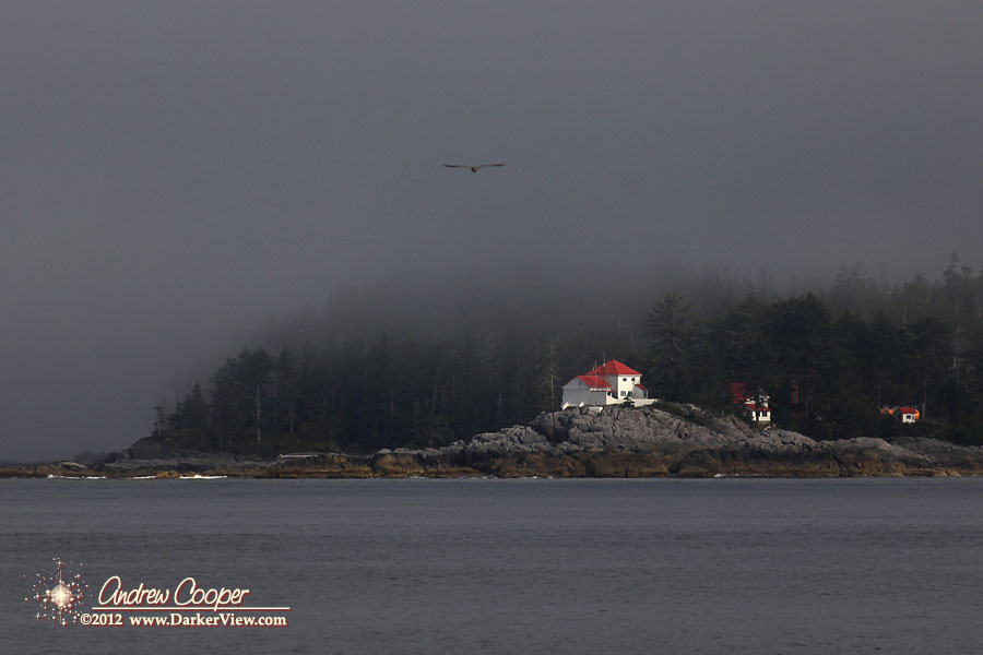
Photo of the Week – Ivory Island Light

Ivory Island Lighthouse

The Ivory Island Light on Queen Charlotte Sound

Posted in BC Places, Photo of the Week | Tagged , , | Leave a comment